Extreme Temperatures
S


Snowflake

Record snow buries Anchorage, Alaska

Snow in Anchorage
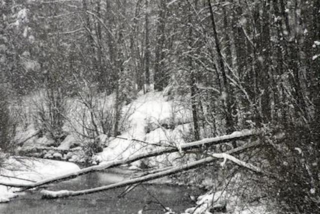
© AP/Mark ThiessenSnow falls at a bridge crossing Ship Creek in Anchorage, Alaska, Wednesday, March 29, 2017.
It was a late March surprise for residents of Alaska's largest city, the kind that snarls traffic and keeps kids at home for the day.

The National Weather Service said 8.8 inches (22.4 centimeters) of snow fell on Anchorage between 10 p.m. Tuesday and 1:30 p.m. Wednesday. That's a record for March 29 in Anchorage, said meteorologist Rebecca Duell.

The Anchorage School District canceled classes for the day, and the deep snow slowed traffic.

One enterprising person on a bicycle with fat tires was caught by a camera from Anchorage television station KTVA. The cyclist was slowly trudging along a bike path adjacent to a long line of cars waiting to move off a highway exit ramp.

The snowfall wasn't unusual for Anchorage, or for the time of year, Duell said.

The latest snowfall on record of at least one-tenth of an inch is May 22, which occurred in 1964.

Since 1952, the average final snowfall in Anchorage occurs on April 18. The previous high snowfall for March 29 was 3.4 inches (8.6 centimeters) set in 2001.
Bizarro Earth

Chiba Prefecture, Japan - Severe cold like midwinter

Chiba
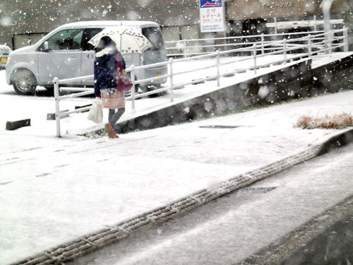
In Chiba Prefecture on March 27th, "it became severe cold as much as midwinter and snow flew in some areas ... it was snowing from early morning and it became "Silver World". According to the Choshi Regional Meteorological Observatory, it was 5 degrees or more lower than normal.

The lowest temperature in the morning was 0 - 3 degrees in Kimitsu Sakanohata, 0 - 6 degrees in Narita - shi, 0 - 9 degrees in Sakura city and Katori city, the same as in the middle of winter. In the morning, it became snowy in some areas such as Chiba city and Narita city and the outside bay toll road was temporarily closed due to snowfall.

Bizarro Earth

Monster El Niño forming - Will it be more devastating than the last one?

el nino
© PhysOrg
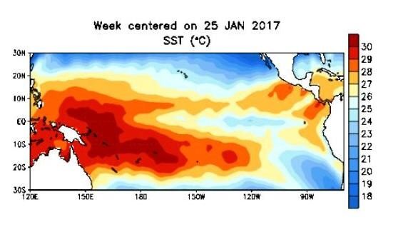
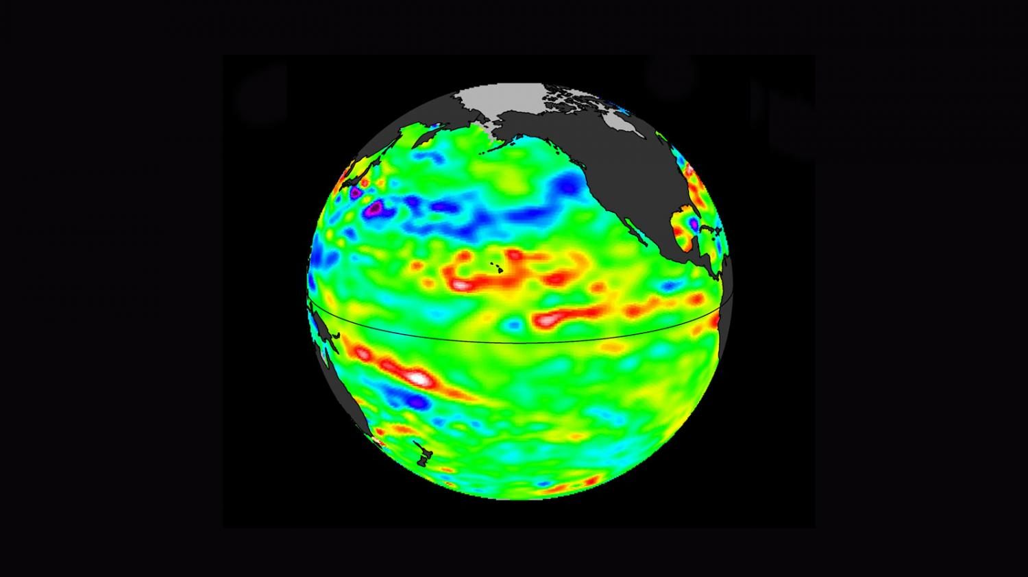
Gigantic masses of hot water are forming in the South Pacific, warns Peruvian scientist Jorge Manrique Prieto. A new El Niño, in other words. Prieto, an expert in satellite remote sensing, explains that literally thousands of square miles of hot water will hit Peruvian coasts in August.

When he uses the word "hot," Prieto is talking about 88 degrees Fahrenheit (31C) hot. He thinks this El Niño will therefore be more devastating than the last one because that one contained water "only" 81F (27C) hot.
el nino 2017
This map shows temperatures as high as 31C
These masses of hot water will lead to evaporation up to four times normal and cause heavy precipitation, says Prieto. On the Pacific Coast it will create greater problems than those caused by the 81F water known as Niño Costero, he said.

The National Oceanic and Atmospheric Administration (NOAA) confirms Prieto's observations (at least partially). "During January and February 2017, above-average SSTs (sea-surface temperatures) expanded within the eastern Pacific Ocean," says NOAA. "(There are) increasing chances for El Niño development into the fall." When you look at the NOAA map, you can clearly see the gigantic intensely red spots - the hot water masses - sliding towards Peru. The hot water masses measure more than 1,000 miles long (1600 km) and 450 meters deep. The first mass should hit the Peruvian coast in April and last until July. The second mass, a super monster, should arrive in August and last until October.

Blackbox

Siberian Crater Mystery: Are Exploding Gas Pockets Really to Blame?

crater on the Yamal Peninsula in Siberia
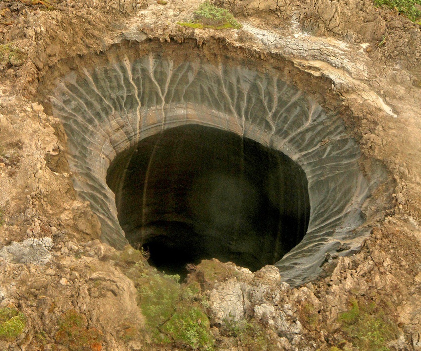
© Itar-Tass/ZumaA crater on the Yamal Peninsula in Siberia. Scientists aren't sure what caused these craters to form in the Siberian Arctic, where the permafrost is thawing.
Is the Siberian permafrost exploding? Recent reports out of the Arctic Circle suggest that methane pockets are erupting and causing huge craters, but scientists aren't so sure that these features are necessarily the result of detonations — or that they are even new.

A Siberian Times article suggested that 7,000 underground gas bubbles are set to "explode" on the peninsulas of Yamal and Gydan as a result of melting permafrost. The article differentiates these small gas bubbles from enormous craters in the tundra landscape, but asserts that the huge craters are the result of subsurface methane gas exploding as global warming heats up Earth. That is far from certain, scientists told Live Science. In fact, the craters may be thousands of years old.

"These craters are recently discovered by scientists," said Katey Walter Anthony, a biogeochemist at the University of Alaska, Fairbanks, who studies methane release from permafrost. "It doesn't mean they are new."

Comment: Is there something much bigger happening on our planet? Earth Changes and the Human-Cosmic Connection


Umbrella

Spring snow falls in Madrid, Spain

Snow in Madrid, Spain
© YouTube/Rafael New
Fuerte nevada a mediodía en Madrid el 23 de marzo de 2017.

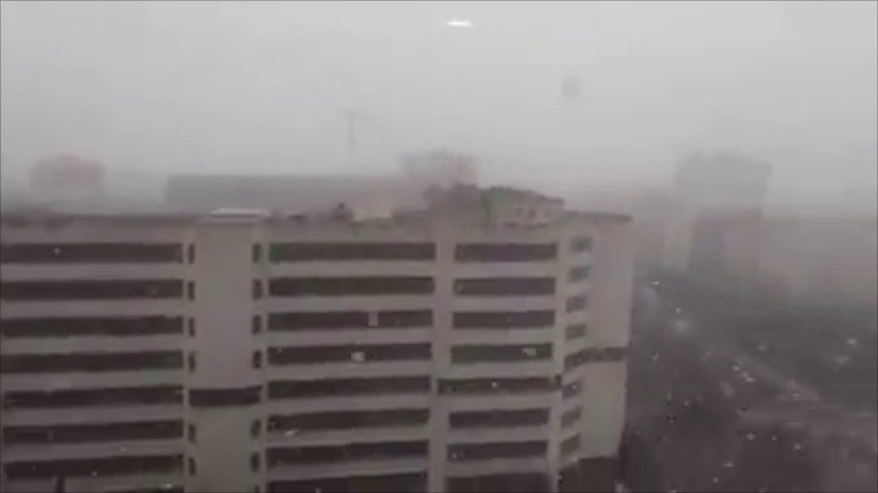
Strong snow blizzard in Madrid March 2017...Springtime!! :)


Comment: Spain experiences its heaviest snowfall in 35 years


Snowflake

Ottawa, Ontario breaks 145-year snow record

Ottowa snow
© Ottowa Sun
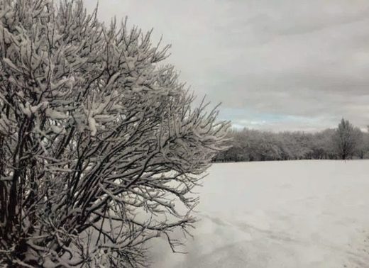
Yes, the fresh blanket of snow in the morning can be a soulful experience.

But, at some point, it must be said, the beauty disappears, and a snowy vista prompts a negative response.

We would venture to say that moment has been reached in the capital area. We're getting more than a little tired of setting records.

More than 20 cm of snow fell across the region Friday, more in some places, making it the snowiest March 24 in history, according to one veteran observer.


The "YOW Weather Records" Twitter account said it was Ottawa's snowiest Mar 24 since records began in 1872.

Meanwhile...If the forecasters are to be believed, we're finally going to get some TRUE spring-type weather. Or, at least warmer.

Arrow Down

Drought fake news update - It's all about money and power

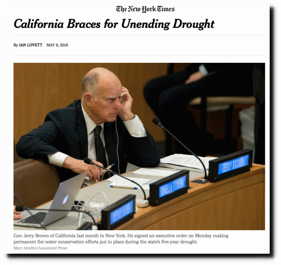
A few months ago, the fake news New York Times and fake governor Jerry Brown announced the California Permanent Drought.
Jerry Brown
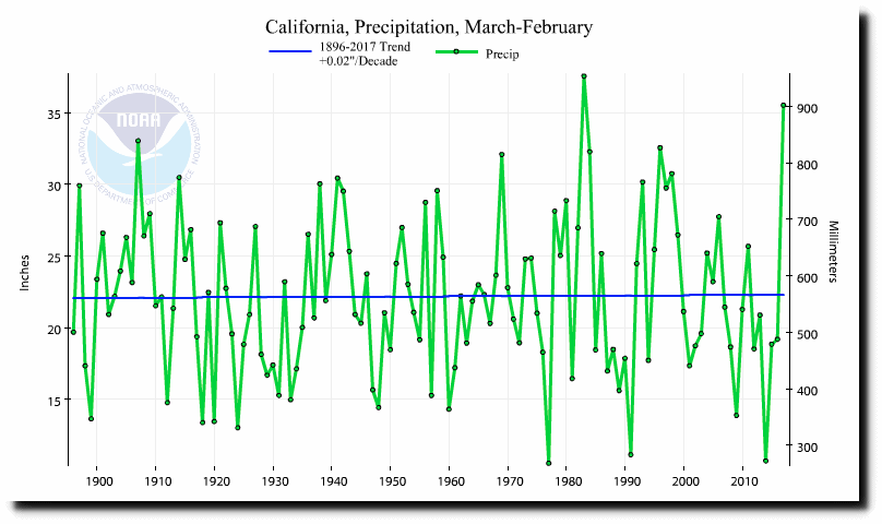
California is having their second wettest year on record, and precipitation has increased slightly over the last 120 years.

Rainfall Graph

Fireball

Earth's worst-ever mass extinction of life holds 'apocalyptic' warning about climate change, say scientists

earth
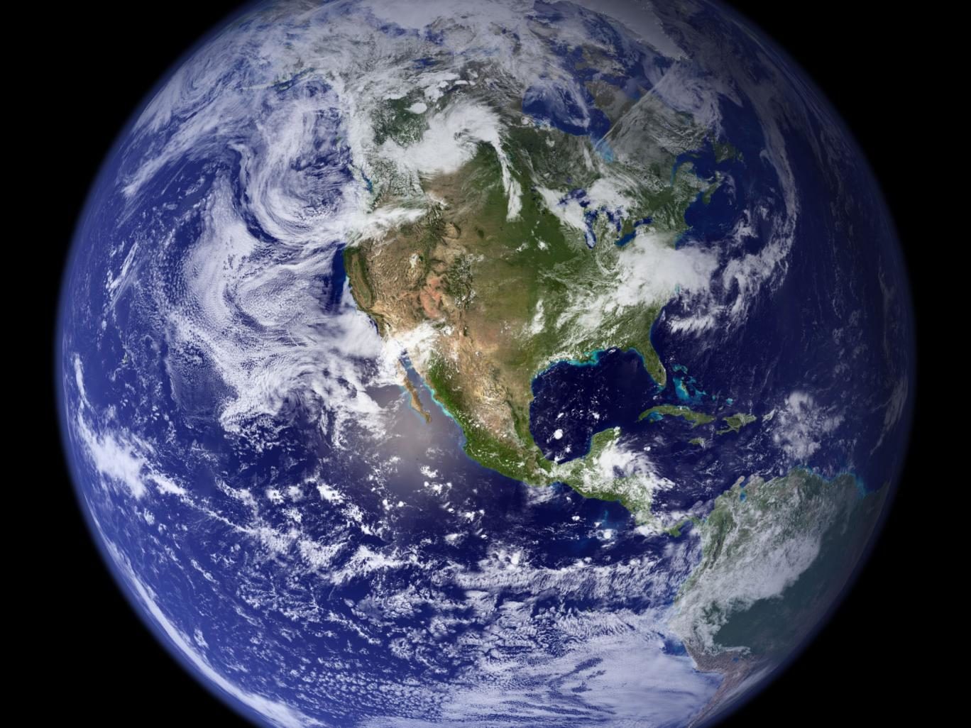
Runaway global warming saw the planet's average temperature hit about double what it is today about 250 million years ag
o

Researchers studying the largest-ever mass extinction in Earth's history claim to have found evidence that it was caused by runaway global warming - and that the "apocalyptic" events of 250 million years ago could happen again.

About 90 per cent of all the living things on the planet were wiped out in the Permian mass extinction - described in a 2005 book called When Life Nearly Died - for reasons that have been long debated by scientists.

Comment: Aha! Finally a reasoned voice who admits that we have to 'wait and see' but that we are definitely in for some seriously dangerous and destructive weather patterns, which he probably concluded by checking the monthly Sott Earth Changes Summary!


Ice Cube

'Ice volcanoes' erupting on shores of the Great Lakes

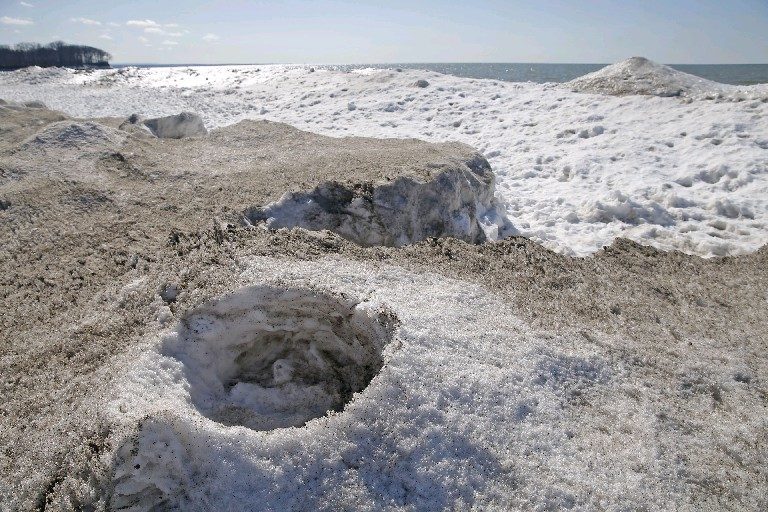
Ice volcanoes were visible Wednesday on the Lake Erie shore at Evangola State Park.
© Robert Kirkham/Buffalo NewsIce volcanoes were visible Wednesday on the Lake Erie shore at Evangola State Park.
In a rare March appearance, a phenomenon of nature known as ice volcanoes formed on the shores of a few Great Lakes and began erupting this week in plumes of sand, water, ice and, yes, even fish, according to The Buffalo News.

Dave McCoy, an environmental educator at Evangola State Park in New York, told the News that more than two-dozen ice volcanoes sprung up along Lake Erie's shoreline for the fourth time this winter season.

"I've never seen them form in March," McCoy told the News.

They also formed on Lake Superior and Lake Ontario, the latter shown in video provided by The Weather Network:


Cloud Precipitation

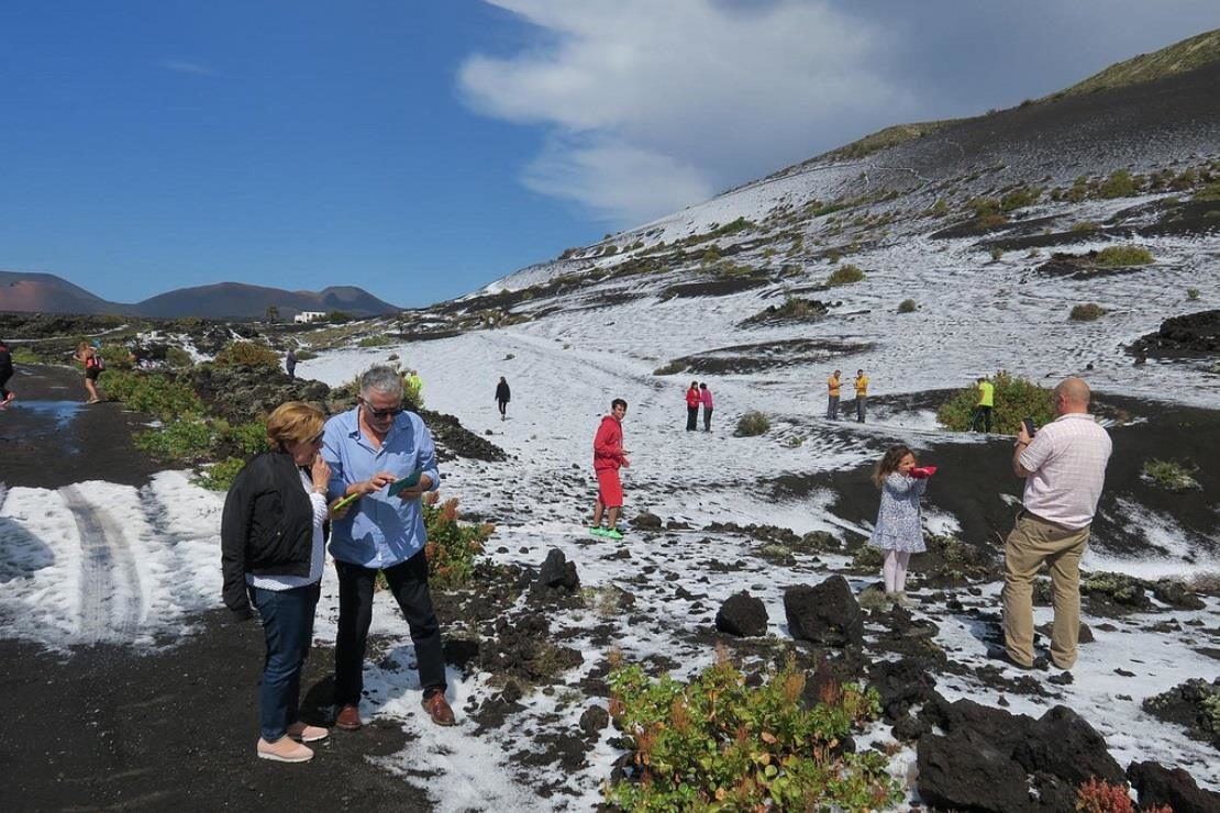
Lanzarote in the Canary Islands turns white after freak hail shower

hail cover
Lanzarote turned white on Sunday, after a hail storm turned parts of Teguise and Tinajo white.

The surprise weather came after a weather warning for heavy rain was issued for the area. However the rain fell as hail in a number of places, creating the wintry scene.