Extreme Temperatures
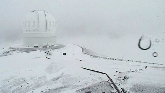
Some Hobart suburbs received a dusting of snow this morning, and a number of schools were closed in the south-east.
The weather bureau's senior forecaster Brooke Oakley said snow was still falling at Scott's Peak in the state's south-west.
"At the moment the snow level is around 200 to 300 metres, and we have showers around the west, south and central areas and only a few light showers getting into the north-east," she said.
"Those showers are going to continue but the snow level is gradually rising to around 500 metres in the evening."
High temperatures in Poland caused the national power suppliers to cut off the electricity to factories for a few days on August 10, as the period of extended heat caused the water levels to drop, in rivers used to cool the power plants.
A historic record was set in Wroclaw, Poland on August 8 when temperatures hit 38.9 ºC (102 ºF), weather records researcher Maximiliano Herrera reported. Usually, temperatures average 23 ºC (74 ºF) this time of year in Wroclaw.
If you don't want to read about those four-letter words, there's plenty more to peruse in the folksy, annual book of household tips, trends, recipes and articles, such as animal jealousy, the history of shoes and anticipation for the biggest Supermoon in decades in November 2016.
Otherwise, look for above-normal snow and below-normal temperatures for much of New England; icy conditions in parts of the South; and frigid weather in the Midwest. The snowiest periods in the Pacific Northwest will be in mid-December, early to mid-January and mid- to late February, the almanac predicts.
"Just about everybody who gets snow will have a White Christmas in one capacity or another," editor Janice Stillman said from Dublin, New Hampshire, where the almanac is compiled. It's due out in the coming week.
The almanac says there will be above normal-rainfall in the first half of the winter in California, but then that will dry up and the drought is expected to continue. "We don't expect a whole lot of relief," Stillman said.
The weather predictions are based on a secret formula that founder Robert B. Thomas designed using solar cycles, climatology and meteorology. Forecasts emphasize how much temperature and precipitation will deviate from 30-year averages compiled by government agencies.
Low summer temperatures mean snow continues to cling to the mountainsides of the Scottish National Park, even in the middle of August. But as the patches begin to melt from below, and water flows downhill, vast caverns - some big enough to walk through - are formed.
The wavy patterns left behind lend an almost magical quality to the frozen formations.

A heat-wave in Egypt has killed at least 61 people in three days, the health ministry says, as temperatures soared to 47 Celsius.
Heatstroke killed 21 people on Tuesday and 40 people on Sunday and Monday, the health ministry was cited as saying. Most of Tuesday's victims were elderly, the ministry said.
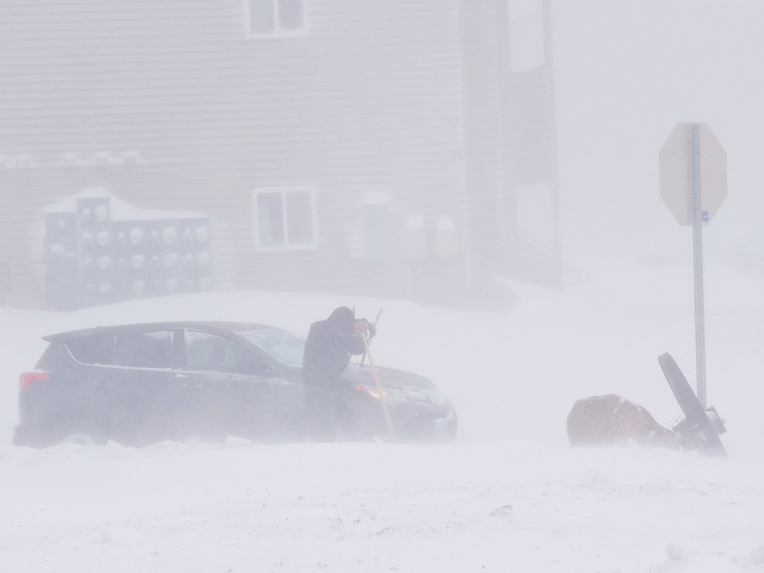
In the second decent dump of the winter farmers in the district were still foot slogging through snow persisting because of temperatures continuing to reach minus six to seven degrees Celsius.
Rangiatea run farmer Blair Gallagher was shearing on Sunday night when the first snow of eventually "seven inches" - about 170 millimetres - landed and was backed up by another smaller drop of 50mm to 70mm. By yesterday there was still 100mm to 120mm on the ground.
During an earlier June snow the temperature gauge dropped to minus 10deg.
The latest snowfall arrived on Sunday followed by another top-up over the last week.
Rainfall is expected to change to snow in elevations higher than 3,000 feet in the northeastern Brooks Range, which includes Anaktuvuk Pass, Atigun Pass, Galbraith Lake, Sagwon and Franklin Bluffs.
The National Weather Service warns that people in the backcountry should be prepared for difficult travel through wet snow today and Tuesday. Motorists on the Dalton Highway are also warned to be prepared for snowy conditions on Atigun Pass.
The daily maximum temperature hit 36.3 degrees Celsius, the Hong Kong Observatory said, with higher temperatures recorded in some parts of the city earlier in the day.
A layer of haze hung over the metropolis of seven million, as people wielding electric fans and umbrellas tried in vain to beat the boiling heat.
"This is a new record," a Hong Kong Observatory spokesman told AFP.
Spokesperson Lee Wright said police had assisted motorists on state highways and some had been taken to safety.
A considerable amount of snow had fallen on the Lewis Pass especially, and it would be some time before it dissipated.
"The Lewis Pass has 400mm of snow and a very heavy snow burden on the trees," Wright said.
"It is estimated that some of the 'snow bombs' are up to 3/4 tonne so no work can be done in these areas until they fall."
More bad weather is predicted today with forecasts showing snow down to 200 metres.
Police are warning motorists to use snow chains on most routes and many highways are down to 60km/h in many places.
Tokyo reached 36.7 degrees Celsius (98.1 degrees Fahrenheit) shortly before noon local time Friday, marking its eighth straight day of highs at or above Japan's "extreme heat" threshold of 35 C (95 F). An analysis of Japan Meteorological Agency data, conducted by The Weather Channel, confirmed that the previous record was just four consecutive days sent on five different occasions between 1978 and 2013. Records began in central Tokyo in June 1875.
The torrid late-morning reading also marked central Tokyo's highest reported temperature since Aug. 30, 2013. The city's all-time record high remains 39.5 C (103.1 F) set July 20, 2004.
The toll from Japan's ongoing heat wave accelerated last week, boosting the year's official tally to 55 heat-related deaths and sending more than 11,000 to the hospital according to new government figures released Tuesday.
Comment: Heat waves are being reported all over the world: