Extreme Temperatures
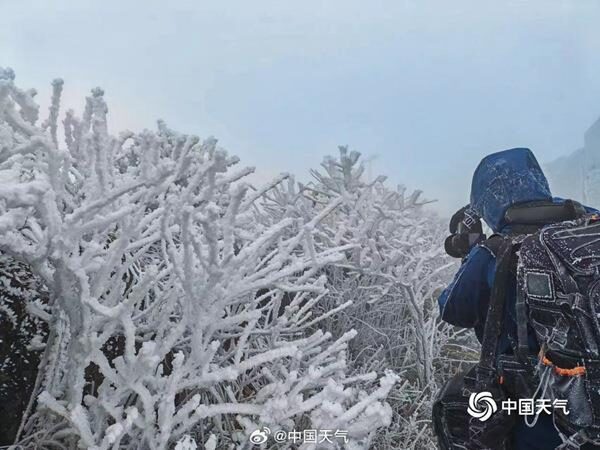
On Thursday, Perisher Valley in the Australian Alps got down to minus 7.0 C (19F) equalling the record set in Perisher in January 1979 and which was also reached at Charlottes Pass in December 1999.
Oddly, no one blamed this on climate change, or mentioned that it would have been worse if we hadn't burnt all that coal. After all, without CO2, it would have been minus ten, right?
Lead author Dr Christian Ohneiser, of the Department of Geology, says it turns out they were much more frequent than previously assumed.
"Until this research, it was common knowledge that over the last million years global ice volume, which includes Antarctica's ice sheets, expanded and retreated every 100,000 years.
"However, this research shows they actually advanced and retreated much more often - every 41,000 years - until at least 400,000 years ago," he says.
The study, published in Nature Geosciences, came about after Dr Ohneiser sampled a sediment core from the Ross Sea for a different project which was designed to reconstruct the retreat of the Ross Ice Shelf after the last ice age.
"The 6.2 metre core was recovered in 2003 and placed in an archive in the US, but was not studied further. I sampled it because I was expecting the core to have a record spanning the last 10,000 or so years.
"I conducted a paleomagnetic analysis on the core, which reconstructs changes in the earth's magnetic field, and found a magnetic reversal showing it was much older and had a record spanning more than 1 million years."
Sedimentary and magnetic mineral indicators enabled Dr Ohneiser to reconstruct how big the Ross Ice Shelf, and the West Antarctic Ice Sheet which feeds the shelf, were.
More than 10 inches of snow fell on Tuesday in Anchorage, making it the snowiest December day since 1999.
The heavy snow caused dozens of crashes and led to school districts canceling classes.
Video taken in Anchorage Wednesday showed streets covered in more than a foot of snow and treacherous travel on city streets.

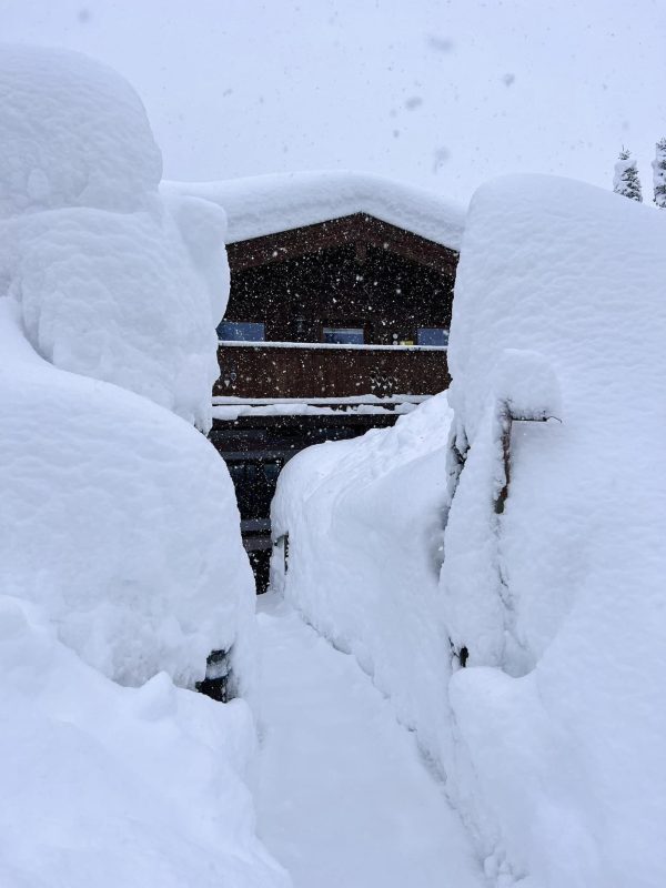
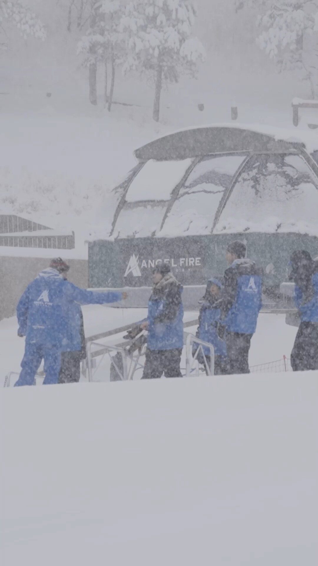
Those are windshield wipers... we think. Mammoth Mountain received almost five feet of snow over the first five days of December 2022
But up around Mammoth Mountain? The beginning of "things poking out of lots of snow season" has officially arrived with the major storm that swept through over the first weekend of December 2022.
If you know the Eastern Sierra ski destination, you know that when a lot of snowflakes fall, you're bound to see the tops of various items sticking out of snow drifts and snow banks, with windshield wipers, fence posts, and the famous mountaintop sign all revealing the impressive depth of the accumulation.
That accumulation was impressive indeed, with nearly five feet of fresh snow falling in December alone.
So here are the ski areas with the biggest snowfall totals this season so far. It's early in the year, and we're sure to miss some, so please comment below on who we should add to this list next time.
Ski resorts with the most snowfall this season to date...
#1 Jackson Hole Mountain Resort, WY: 142″
#2 Alta, UT, Tied with Brighton, UT: 134″
#3 Snowbird, UT, Tied with Grand Targhee, WY: 127″
#4 Timberline, OR: 121″
#5 Solitude, UT: 118″

In this image taken from video from a Caltrans remote video traffic camera, traffic moves slowly through the snowy conditions along Interstate 80 near Truckee, California, Thursday, Dec. 1, 2022.
The storm arrived in Northern California late Wednesday and continued throughout Thursday, delivering much-needed rain to the lower elevations. San Francisco International Airport measured 0.71 of an inch of rain on Thursday, nearly half of the 1.58 inches of rain that fell in all of November.
A yardstick was needed to measure the snow in the higher elevations with snow causing travel-related headaches for drivers across the region.
Interstate 80 at Donner Pass and Highway 50 at Echo Summit were closed periodically throughout the storm due to vehicles stuck on the snowpacked roads, but the roads have since been reopened to traffic.
Right now, the solar wave is conforming more to our model than that of NASA. The Sun has become far more active than NASA has forecast or expected. NASA is beginning to worry that this Solar Cycle 25 could become the Strongest Cycle Since Records Began. Effectively, in terms of our model terminology, Solar Cycle 25 may be a Panic Cycle. In other words, we appear to be headed into the strongest cycle on record following the weakest cycle. That is high volatility in cycle terminology.
So what does this mean for Markets?
Since this Solar Minimum may continue into 2024, that appears to be a very major turning point on our global food index. Most of our models on markets are showing Panic Cycles in the 2027-2028 time period. That appears to be more war than nature.

Steep hills in Gibsons, B.C., became very slippery on Tuesday as snow pummeled the area, photographer Scott Blackley said.
B.C. Hydro issued a notice advising residents on Hornby Island and Denman Island to prepare to be without power until Wednesday morning, as ferry cancellations means crews cannot get over to make repairs.
"We plan to have crews take the first available ferry in the morning," B.C. Hydro says on its website.
In an interview with CBC, spokesperson Mora Scott said most of the outages seem to be due to snow weighing down trees, and ultimately, taking out power lines.

A mobile Doppler on Wheels unit is surrounded by intense snow from a lake-effect storm over the weekend.
"Lightning damage is an increasing concern for wind power providers," reported the Washington Post, in the wake of the late-November storm that brought a record amount of snow to the east ends of Lake Ontario and Lake Erie. "Like any tall structure, a wind turbine can serve as a strike point for a downward-propagating lightning flash."
But "as turbines grow taller, they appear more likely to trigger upward-propagating flashes that extend from the turbine into a storm, rather than vice versa."
In his most recent Weatherbell Saturday Summary, veteran meteorologist Joe Bastardi looks ahead at the winter weather over the coming weeks across the globe.
What definitely distinguishes Joe from forecasters I follow here in Germany is that he doesn't rely solely on the so-called ensemble models to make his longer term forecasts, but goes way back into the archives and searches for similar patterns that took place even decades ago (analogues) in order to better discern which way the weather is likely to turn in the weeks ahead.
German forecasters like here , here and here like to put out videos once or even twice daily to report on what the many model ensembles are showing, which is something no one really needs a meteorological license to do. Too often you hear these weather pundits suddenly change their 7+ day forecast, in lockstep with whatever the latest ensemble run crunches out. Yet, most of us know that such forecasts are only valid until the next ensemble run because 7 days out the models can and often make U-turns.
Comment: Another heavy snowfall report from the same state: