Extreme Temperatures
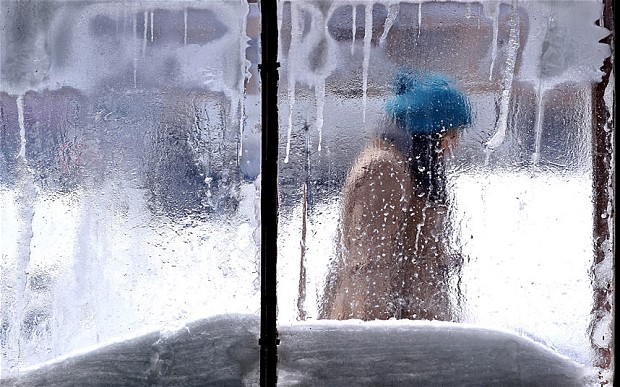
The latest detailed forecasts for winter 2013 ALL point towards months of relentless extreme cold with heavy snow 'extremely likely' across the country.
Arctic air will roar in from the North Pole later this week, triggering the start of the worst winter in many people's lifetimes.
Experts in long-range weather forecasting said the WHOLE of Britain should be prepared for this winter to be the most severe since 1947, which saw the UK hit by relentless snow and some of the lowest temperatures on record.
Bit by bit, the truth in the form of increasingly cold weather is causing people to wonder whether they are being duped. The media has either buried the stories of extraordinary cold events or continues to tip-toe around the truth.
An example is a recent Wall Street Journal article by Robert Lee Hotz, "Strange Doings on the Sun", Hotz reported that "Researchers are puzzled. They can't tell if the lull is temporary or the onset of a decades-long decline, which might ease global warming a bit by altering the sun's brightness or the wavelengths of its light."
After describing the fact that the Sun has entered a period of reduced sunspot activity, always a precursor to a cooling cycle and even an ice age, Dr. David Hathaway, head of the solar physics group at NASA's Marshall Space Flight Center, is quoted as saying "It may give us a brief respite from global warming, but it is not going to stop it."
Plainly said, you cannot trust what government scientists have to say about global warming. The government's policy since the late 1980s has been that global warming is real and poses a great threat to the Earth. What Dr. Hathaway and other "warmists" are desperately trying to ignore is the fact that the Earth entered a natural and predictable cooling cycle around 1997 or 1998. It has been cooling ever since!

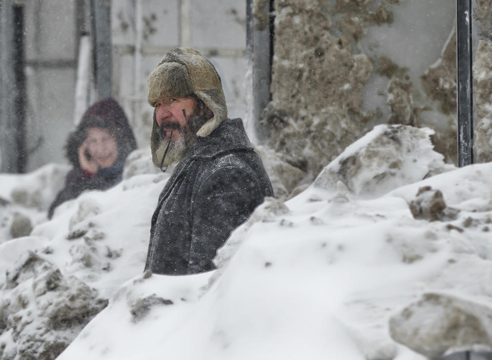
November 16, 2013 - Police were advising people to stay at home if they can as a winter storm blew into Calgary early Saturday morning making for low visibility.
As blustery conditions dropped another layer of the white stuff on the city, police reported about 133 vehicle accidents by 7 p.m., six of which involving minor injuries, said Const. Stephen Vaney.
Outside of the city, meanwhile, the winter blast wreaked havoc on roads and highways, causing crashes and pileups.
A winter storm warning remained in effect for the Red Deer area, though Environment Canada ended its snow fall warning for Calgary, forecasting that about two centimetres would hit the city before the late evening. Temperatures dropped to nearly -13C, or -22 with the wind chill.
Earlier Saturday, havoc on roads and highways outside of Calgary kept emergency crews busy.
A 30-vehicle pileup near Crossfield on QE2 was caused after a semi-truck jackknifed and another crash closed lanes to travel for hours.
Stranded motorists were removed from the scene and some were taken to a Crossfield church to stay warm, police say.

The 29.3 inches of snow – with record rain mixed in – was too heavy for this spruce tree which was growing out of the mountain ledge along Mile 8 of the Richardson Highway.
Sunday marked the first measurable snow day in Valdez and it was a record breaker according to the National Weather Service.
A respectable 24.4 inches of snow fell Sunday, beating the old November 10 record of 19.1 inches set in 1994.
But before the Valdez Buccaneer Ski team trades in water skis for snow skis, it is worth mentioning that Sunday also broke the record for precipitation on that date, with the weather service reporting 2.10 inches of rain mixing with that record snow.
"The old record precipitation from November 10 was 1.77 inches from 1976," the weather service website said. "This brings the total precipitation for the year to 86.94 inches...which is the third highest annual total."
Forecasters warned that a mass of bitterly cold air from the Arctic is set to smother the country.
Up to four inches of snow will carpet parts of the North while the first flurries are expected in central and southern regions.
The bleak news comes as long-range forecasters warn that Britain could be crippled by a "record-breaking and historical" big freeze this winter. Prolonged cold weather and relentless heavy snowfall threaten to grind the country to a halt until the beginning of spring.
Remote parts of the North - including the Cairngorm mountains in Scotland - could see the mercury plummet as low as -15C next Tuesday.
Jonathan Powell, forecaster for Vantage Weather Services, said the worst weather is due to hit during the middle of next week.
He warned that a ferocious "Polar plunge" of bitterly cold winds could see overnight temperatures dive to -10C with windchill in the North while the South will shiver in lows of -5C.
The temperature dropped to 23 degrees at 5:48 a.m. Wednesday morning in Athens which broke the record low of 24 degrees previously set in 1911.
The cold temperatures are a result of an arctic airmass that moved southward into the U.S. from Canada.
Atlanta did not break a record Wednesday, but did see its coldest temperature, 28, since March.
An iceberg which is estimated to be around the size of Manhattan or Singapore could threaten shipping if it drifts into busy international lanes.
UK researchers have now been given an emergency grant to track the iceberg which is approximately 270 square miles in size.
The giant block of ice broke away from the Pine Island Glacier in July but it was iced-in due to the freezing winter temperatures in Antarctica.
While the iceberg could move eastwards along the Antarctic coast, it could also drift into the South Atlantic Ocean where it could potentially pose a hazard to ships if it crosses into international shipping lanes
Now the £50,000 research grant will fund a six month project which will predict the movements of the iceberg through the Southern Ocean.
Note: this essay was written by the National Weather Service Forecast Office in Burlington, Vermont and tipped to me by a reader. Vermont's wind farm acreage pales in comparison to places like the Texas and Oklahoma, where there are literally thousands of acres of wind farms right in the middle of tornado alley. I've been there and seen them firsthand.
Certified Consulting Meteorologist Mike Smith writes:One has to wonder just how much trouble wind farms are causing the nation's doppler radar warning system. It looks like a classic case of the law of unintended consequences at work. - Anthony
"While driving to Norman, OK recently I saw the newest "wind farm" to the west of Interstate 35 southwest of Tonkawa. Wind farms show up as bright ground clutter on weather radars and here it is."
National Weather Service WSR-88D Radar and Wind Farm Impacts
Introduction
The most valuable tool used by the National Weather Service (NWS) to detect precipitation is the radar. Radar stands for Radio, Detection, and Ranging, and has been used to detect precipitation since the 1940′s, with most of the technology coming from the military.
A second snowstorm hit north-central Montana over the weekend, bringing enough white stuff to tie a National Weather Service record for Havre on Nov. 10 set at 4 inches in 1916 and bringing some slippery driving conditions to the area.
Once again, the winter conditions are not expected to last, with temperatures expected to be in the 20s to 30s, depending on the forecaster, today and back into the 40s or even 50s later in the week.
The forecast calls for mostly sunny skies through the weekends with temperatures expected to drop some by Saturday or Sunday.
The long-range forecast still is up in the air, with The Farmers' Almanac predicting the region including Montana will be piercingly cold with about-normal snowfall, while the Old Farmers' Almanac predicts colder-than-normal winter temperatures here, with lower-than-normal precipitation and snowfall.
Some of these changes are reflected in changes we can see occurring on other planets in our solar system, and may be related to the bizarre behavior of our sun and/or the nature of space around our solar system. Respected meteorologists and atmospheric scientists are warning of an impending ice age - the beginning of which could occur rapidly and with little warning. Secondary concerns have been widely expressed regarding worldwide food supply, not to mention rising prices and environmental instability.
The point here is not to stimulate panic. The point is to focus on what we can do as individuals and groups to prepare a living environment that is mindful of potential threats - an environment we can create with the means at our disposal. Just thinking and planning around this is preparation itself.