OF THE
TIMES
The course of life and labour reminds me of a long journey I once took on the railway. Suddenly, there was a breakdown ahead, and passengers took the event in various ways. Some of them sat still resignedly, and never said a word. Others again, went to sleep. But some of us leaped out of that train, and ran on ahead to clear the road of all obstructions.
And I have a few bridges to sell. Anyone interested ?
This is what happens when you put a gay bank teller in charge of a country ...
Well the time has come to burn down the Satanic Nazi Zionist Jew Rothschild evil ways and this is just a beginning to see the fall of the Cabal....
Here is Scott Ritter's analysis. [Link]
Anyone lose a bunch of kangaroos? They were last seen jumping all over the New York's Justice Department and the DA's office.
To submit an article for publication, see our Submission Guidelines
Reader comments do not necessarily reflect the views of the volunteers, editors, and directors of SOTT.net or the Quantum Future Group.
Some icons on this site were created by: Afterglow, Aha-Soft, AntialiasFactory, artdesigner.lv, Artura, DailyOverview, Everaldo, GraphicsFuel, IconFactory, Iconka, IconShock, Icons-Land, i-love-icons, KDE-look.org, Klukeart, mugenb16, Map Icons Collection, PetshopBoxStudio, VisualPharm, wbeiruti, WebIconset
Powered by PikaJS 🐁 and In·Site
Original content © 2002-2024 by Sott.net/Signs of the Times. See: FAIR USE NOTICE

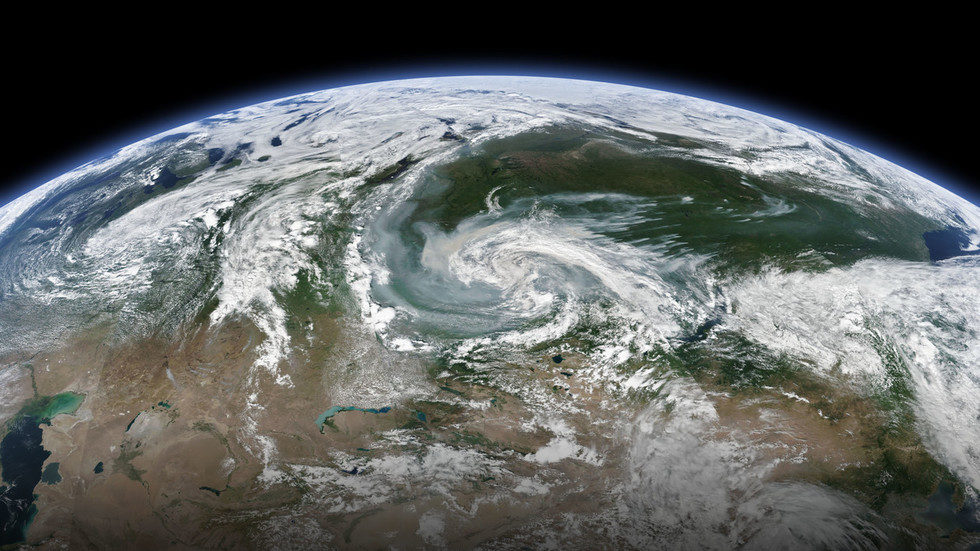
Comment: It's not that warm in the Arctic.
No, the significant factor behind them is likely to be the 'accelerant' provided by increased outgassings of methane and CO2, in part due to increased seismic activity. Lightning, which is also on the rise, provides the spark. Then the fires themselves produce lots more CO2.
Like, vastly more than humans can produce.
The smoke and other particulates the fires produce are joined by increased dust from increased meteors and increased volcanic eruptions, which all then jointly contribute to the increased dust-load in the atmosphere, which changes its electric charge rebalancing mechanisms, producing more intense storms and precipitation in the form of record rainfall, hail, lightning strikes, etc.
Notice that man-made activity is nowhere to be seen in this naturally intensifying feedback loop...
We're just along for the ride.