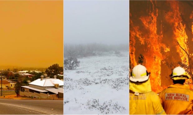
In South Australia, 40,000 properties were left without power and several homes were damaged as wind gusts of over 100 kilometres per hour hit on Wednesday night.
Victoria also saw severe thunderstorms, with the State Emergency Service reporting it had received over 750 calls for assistance by Tuesday night.
On Thursday morning, South East Queensland was hit with a band of gusty storms, storm warnings were issued for the Northern Territory, and parts of Tasmania were on flood watch and damaging wind warnings were issued.
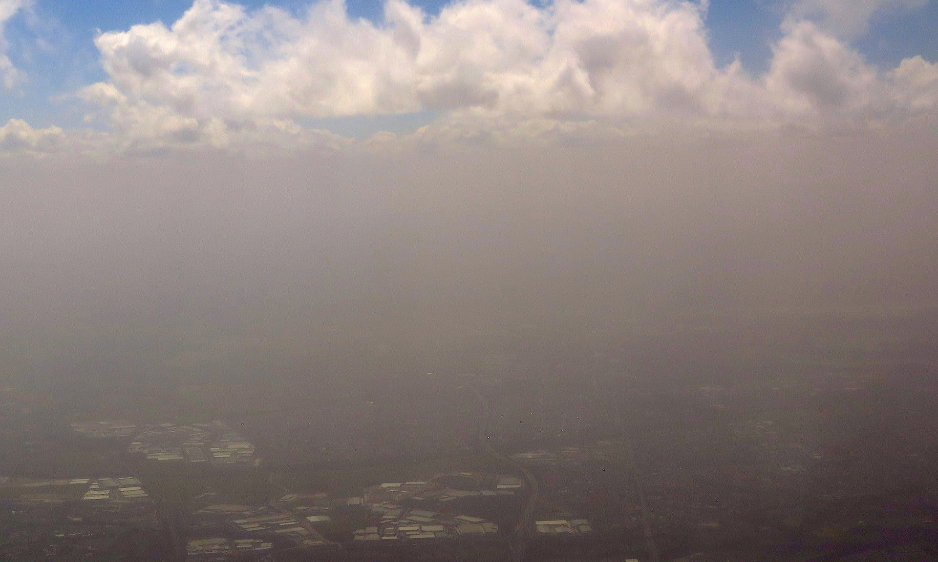
In New South Wales, a dust storm travelled across the state from west of Broken Hill to Sydney.
The band of dust spanned 500km and was visible from satellite imagery - and the Australian Capital Territory was in the firing line too.
Dust haze was still visible over parts of north-eastern NSW and southern Queensland on Thursday afternoon, but it appeared to be easing, and effects were no longer expected to be as bad as in 2009.
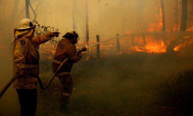
Earlier on Thursday there were also emergency warnings in place for two bushfires burning north of Sydney.

To further add to the weather drama, Western Australia had catastrophic fire weather forecast for Thursday in the Gascoyne region.
What is going on?
Diana Eadie, a meteorologist with the Bureau of Meterology's extreme weather desk, said this wild weather in Australia's south-east was a result of a deep low pressure system that had moved from the Great Australian Bight into Victoria.
Comment: Ok, but what's causing the 'deep low pressure system'?
It has whipped up the winds, sent dust across NSW, and is responsible for the cold snap and alpine snow.
"With that [deep low pressure system] we've seen a series of cold fronts move across southern states," Ms Eadie said.
"As we've experienced today (Thursday) in parts of Victoria and NSW, a really significant cold front coming through with snow in some alpine areas."
Snow in November may be unusual, but Ms Eadie said it was not unheard of.
"We did actually see snow around parts of Victoria and New South Wales in the start of November last year," she said.
"Going back even further than that, back in 2006, we actually had snow around the Christmas period.
Comment: Which only really goes to show that cooling has been evident for at least the past 12 years.
"So while it is a little bit unusual, it's certainly not unprecedented. We have seen things like this before."
Thundersnow and lightning
However, this week's snow is not run-of-the-mill snow as there have been reports of "thundersnow".
Ms Eadie said thundersnow was a rare and little-known phenomena where lightning strikes in thunderstorms that are producing snow.
Comment: Thundersnow is so 'rare' (these days) that it was also seen in Russia just 2 days ago:
"It's essentially the same as a regular thunderstorm, except instead of any rainfall coming out of the thunderstorm you see snow instead," she said.
"Because the whole atmosphere and the depth - which the thunderstorm is extending through - is frozen."
Ms Eadie said the snow was not expected to hang around.
"Even starting from tomorrow (Friday) temperatures are going to bounce back up again. It's not going to last all that long," she said.
Another low looming
The next low pressure system out to the west is already causing trouble, with catastrophic fire danger in WA.
"We do have fire weather warnings in place at the moment for parts of WA again," Ms Eadie said.
"A more vigorous low pressure system is currently sitting over parts of WA that is going to persist for the next couple of days.
"[It's] certainly something to keep in mind for people who are in those affected areas."
What about the next few days?GIF: Satellite loop of the Sydney dust storm GIF: Satellite loop of the Sydney dust storm
The low is not going to disappear.
Ms Eadie said it looked like the weather was going to get worse, then better, then worse again.
"At least into tomorrow (Friday) in the southern states we are going to see a continuation of those really strong winds and those cooler temperatures," she said.
"The good news is this weekend it should start to clear up a little bit, but that low pressure system that's currently affecting WA will start to move into the Great Australian Bight again.
"We could see a return of this sort of unsettled weather as we head into next week."
On top of all this, heatwave conditions are forecast over the weekend and into next week for parts of north Queensland.


I remember because I always loved it. If that was "Summer", then in the last 5 years or so, "summer" has lasted for all of two weeks spread out over january and february. It seems to go directly from early spring into late autumn with only a sprinkling of warm days in the middle.
Starting to look as if we won't get even that much this year.