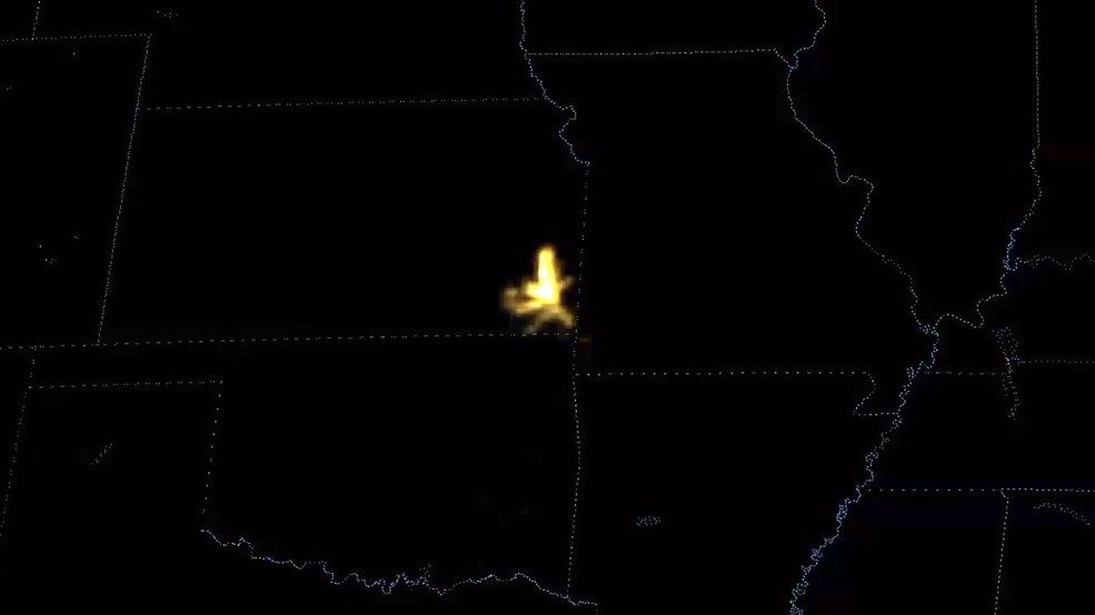
Or in one case this week, hundreds of miles.
The new GOES 16 satellite has an advanced lightning sensor and captured a flash that started from a thunderstorm in southeastern Kansas and propagated about 250 miles across parts of Oklahoma and Missouri, according to NOAA:
NOAA says the strike came as part of a squall line of storms that was moving across the Midwestern plains on the night of Oct. 22.
"A squall line is a group of storms arranged in a line, often accompanied by 'squalls' of high wind and heavy rain," NOAA wrote on their Facebook page showcasing the video. "Squall lines tend to pass quickly and are less prone to produce tornadoes than are supercells. They can be hundreds of miles long but are typically only 10 or 20 miles wide."
The new satellite, which launched late last year and is the first of three new technologically advanced weather satellites, includes a Geostationary Lightning Mapper (GLM). The first instrument of its kind in geostationary orbit, it observes all version of lightning (such as in-cloud and cloud-to-ground strikes) and "provides a constant vigil for lightning flashes day and night across the Western Hemisphere," NOAA says.
It was in orbit in May when the Pacific Northwest was hit by a rare severe weather outbreak, and was able to capture some 2,500 lightning strikes around our region. (Not to mention an impressive lightning-filled cold front along the southeastern U.S.):
"Rapid increases in the amount lightning are often a signal that a thunderstorm is strengthening and could become more dangerous," NOAA said. "In concert with other tools, the lightning mapper will help provide more accurate and earlier warnings of developing severe storms and give communities more time to prepare for impending severe weather."
Of the next two advanced weather satellites, GOES S is scheduled to launch in spring of 2018 while GOES T is expected to go in 2020.


Reader Comments
to our Newsletter