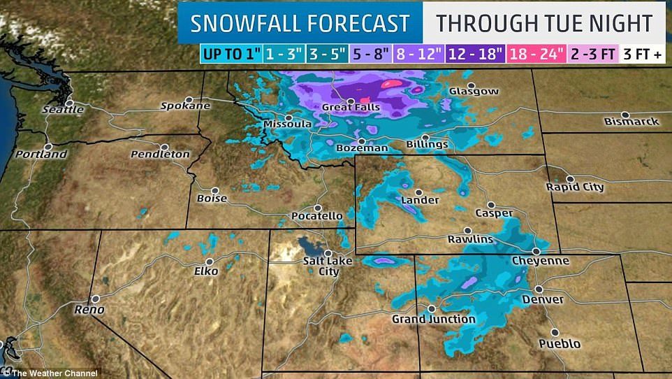
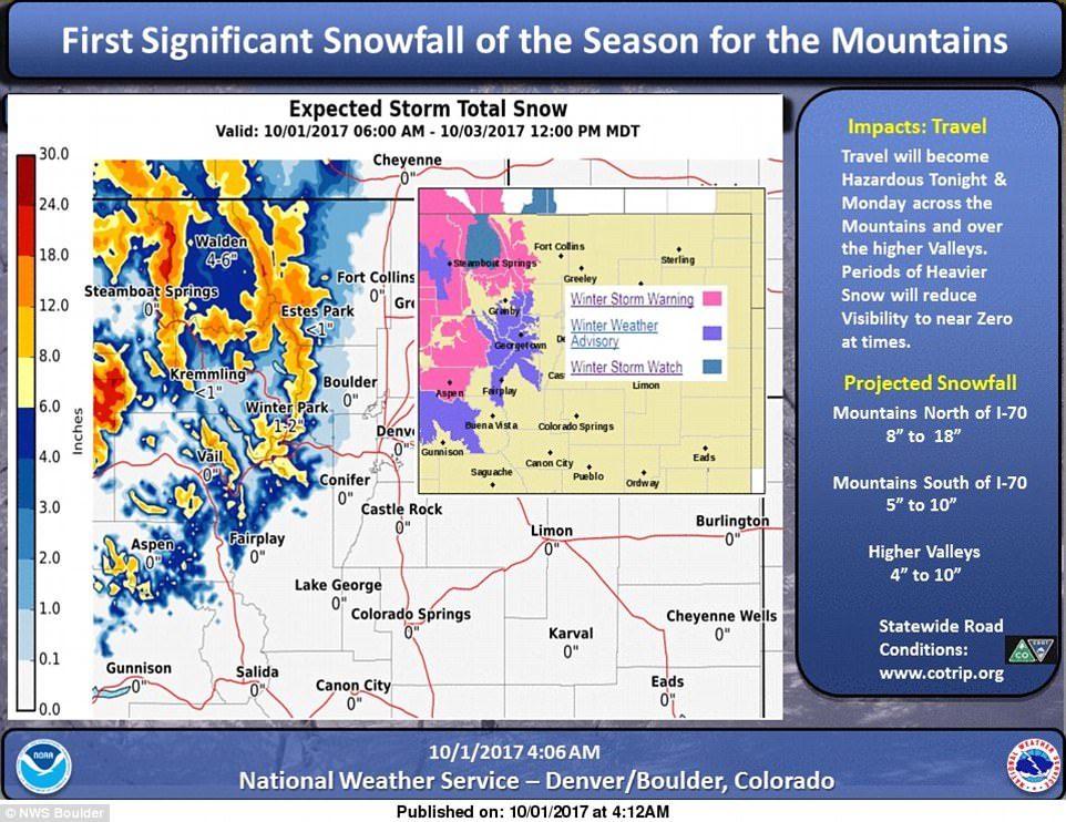
The National Weather Service issued storm warnings and advisories for most of the central and northern Colorado mountains starting on Sunday and lasting through Monday at midnight.
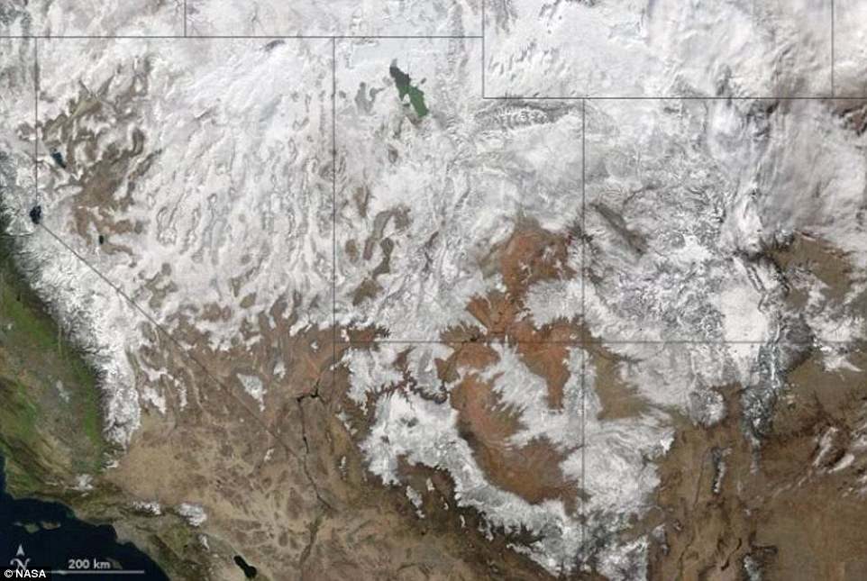
Satellite images show the heavy snow cover that has already accumulated in the mountains.
The most buildup expected in places with elevation above 10,000 feet.
The mountains along Interstate 70 are expected to get some of the heaviest snowfall - and are predicted to have between eight and 18 inches of accumulation.
Mountains south of the highway are expecting between five and 10.
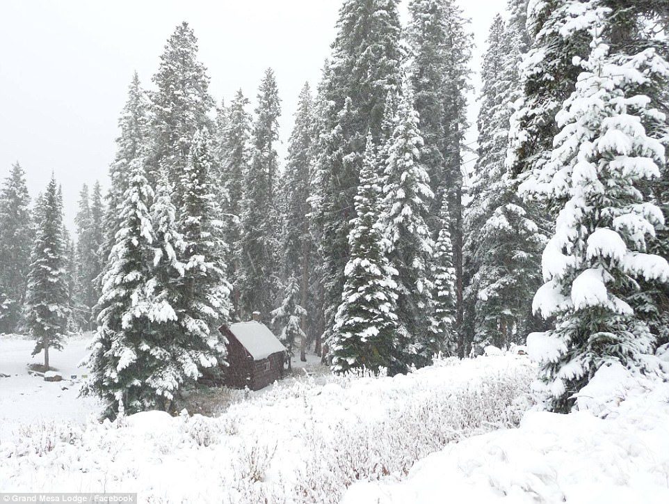
He also explained that the snowfall could make travel hazardous in some areas - and the warned that heaviest bands could reduce visibility to near zero.
In Colorado snowfall is expected in places as low as 8,500 feet along the highway and as low as 7,000 feet where Colorado touches Wyoming.
Radars also show a possibility of severe thunderstorms in the northeastern plains, and potential hail up to one-inch in diameter, and wind gusts up to 60 mph.
'We are kind of in a wet pattern,' Danielson told the Post.
'So there won't be a whole lot of melting initially. Then, toward the middle to late next week, we could see some warmer and drier conditions.'
The rest of the west is expecting a windy, dry and mild week ahead.



Comment: See also: Dump alert! The Rockies in Colorado gets hit with more snow; 19 inches recorded
Snowstorm creates havoc on Colorado mountain roads, power outages in 45,000 high country homes