OF THE
TIMES
"We have about 50% of the world's wealth but only 6.3% of its population. This disparity is particularly great as between ourselves and the peoples of Asia. In this situation, we cannot fail to be the object of envy and resentment. Our real task in the coming period is to devise a pattern of relationships which will permit us to maintain this position of disparity without positive detriment to our national security. To do so, we will have to dispense with all sentimentality and day-dreaming; and our attention will have to be concentrated everywhere on our immediate national objectives. We need not deceive ourselves that we can afford today the luxury of altruism and world-benefaction."
~ US State Department, 1948
" Que la malédiction d'Allah soit sur les injustes,» (Coran 7/44) ».
What the early humans did was to adapt culture to exploit the environment. That is, using the brain, not the body, to evolve. This leads to much...
" Que la malédiction d'Allah soit sur les injustes,» (Coran 7/44) ».
Didn't we all say nothing would be done? No surprise.
"Western tycoon claims Zelensky associates trying to extort millions of euros" This should read: Western tycoon claims Zelensky associates trying...
To submit an article for publication, see our Submission Guidelines
Reader comments do not necessarily reflect the views of the volunteers, editors, and directors of SOTT.net or the Quantum Future Group.
Some icons on this site were created by: Afterglow, Aha-Soft, AntialiasFactory, artdesigner.lv, Artura, DailyOverview, Everaldo, GraphicsFuel, IconFactory, Iconka, IconShock, Icons-Land, i-love-icons, KDE-look.org, Klukeart, mugenb16, Map Icons Collection, PetshopBoxStudio, VisualPharm, wbeiruti, WebIconset
Powered by PikaJS 🐁 and In·Site
Original content © 2002-2024 by Sott.net/Signs of the Times. See: FAIR USE NOTICE
Reader Comments
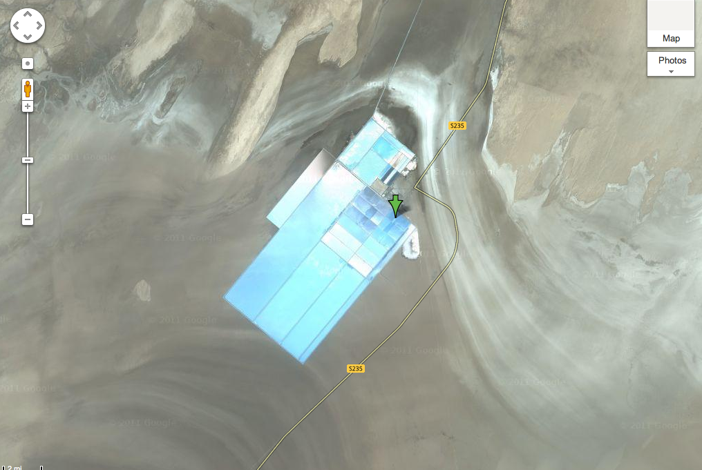
If Color is right-Cyanide Gold Mining?
If you've ever been out West U.S., you might have seen a lake looking like the one at this link: [Link]
The Aqua Blue Color is what gives CYANide its name.
R.C.
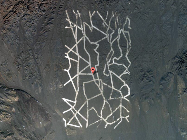
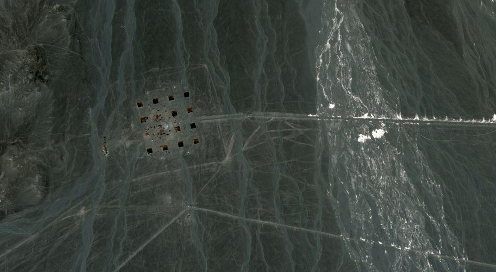
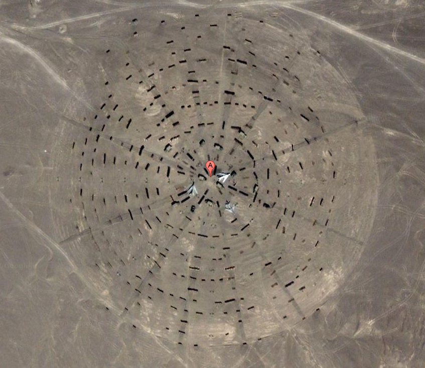
The pic of the round layout looks reminiscent of a GWEN tower.
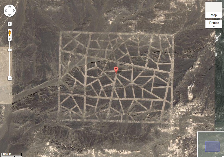
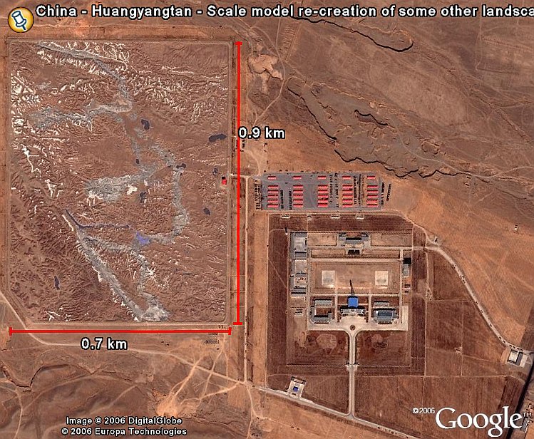
Maybe they have their own version of Christo prettifying the landscape
[Link]
Maybe it's simply a nuclear waste containment area. A project of this scope is out of the question in the USA. So what or rather where do we dispose of ours?
The US will have similar things but you wont find them on google maps