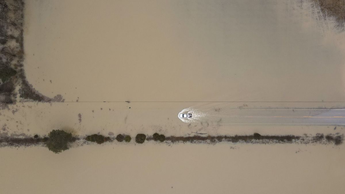
Flash flooding affected parts of Kentucky and Tennessee on 28 February. Local media reported several high water rescues, mostly involving motorists attempting to drive through flood water.
The National Weather Service (NWS) declared a "Flash Flood Emergency" for parts of Todd County.
NWS Paducah, KY said: "A Flash Flood Emergency has been issued for Todd County KY. This is an extremely dangerous, life-threatening situation unfolding for the Elkton, KY and surrounding areas of the county. Do not attempt to travel in this area unless you are fleeing an area subject to evacuations."
The South Fork Little River at Hopkinsville in Christian County, Kentucky, reached 21.15 feet on 28 February, which is above Major Flood stage (20 feet) and the second highest crest on record. The highest is 21.35 feet set in July 2016.
Heavy rain was also reported in the Jackson area. On 28 February NWS Jackson KY said: "3.45 inches (87.63mm) so far as the NWS office in Jackson. We have already beaten the wettest day in February by over an inch and its still coming down. Records date back to 1981." NWS Jackson also warned the river flooding was likely in the Kentucky and Red River basins.
Some flooding was also reported in parts of Tennessee and West Virginia, as of late 28 February 2021.


Reader Comments
to our Newsletter