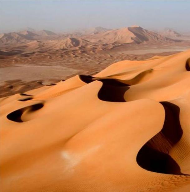
The Empty Quarter, also known as the Rub al-Khali, is the largest sand desert in the world, covering an area of 650,000 square kilometers (250,966 square miles) or around one third of the southern Arabian Peninsula. It is also one of the hottest most arid environments on the planet with temperatures regularly above 50 C (122 F) and less than three centimeters (one inch) of rain per year.
So you would be forgiven for thinking that the legend could not possibly be true...but that would be to underestimate the power of climate change, because not so long ago the desert was a very different place.
Apart from the oral legend itself, the evidence for an ancient river in the desert is persuasive. Firstly, the earliest maps of the Arabian Peninsula clearly show two major rivers draining the Rub al Khali, one flowing north into the Persian Gulf, the other south into the Arabian Sea. Although drawn in the 15th century, these maps were based on one by Ptolemy made around 150 AD, so essentially reflect the situation 2,000 years ago.
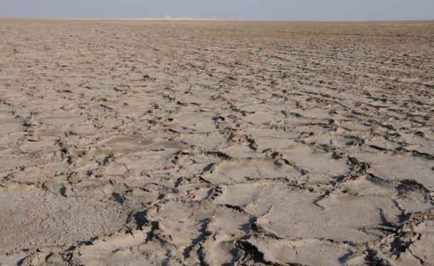
Secondly, explorers starting with Philby in 1932 as well as more recent geological surveys have found numerous prehistoric dried lake beds deep in the desert which have been dated to between 13,000 and 7,000 years ago, accompanied by the bones of gazelle, long-horned cattle and wild goats, animals that have not been seen there in living memory. So the desert was clearly a much wetter place, thousands of years ago.
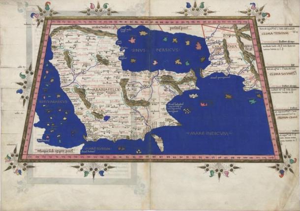
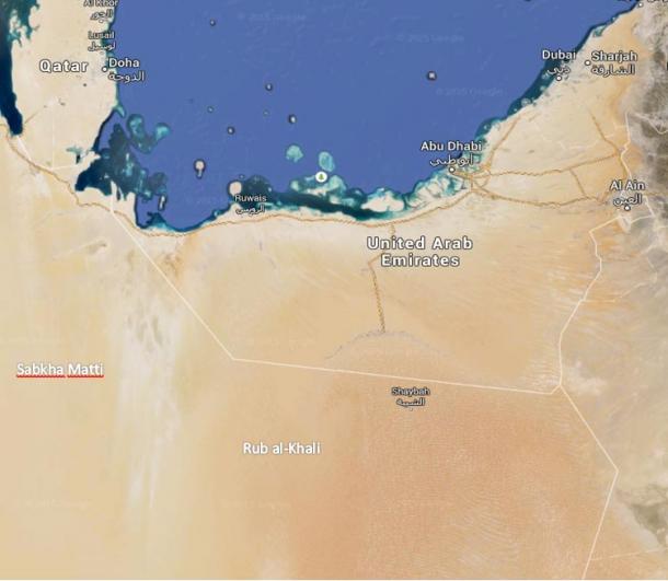
So it is quite plausible that these Bedouin myths and verses represent faint memories of that different world 5,000 years ago, when the Sabkha Matti still flowed with water rather than salt, and when it was cool enough and wet enough for cattle to roam the area. After all, stories of other significant climatic events from several thousand years ago have survived in the earliest written literature, such as the description of the deluge in the Epic of Gilgamesh dating from 4,000 years ago.


Lidar and even more advanced satellite technology would yield some good information I'd think.