The NGA's mission is to provide "timely, relevant, and accurate geospatial intelligence in support of national security," its website says. "From the discovery of atrocities in Kosovo, to support for the cities hosting the Olympics, through the response to Hurricane Katrina, and our work in Haiti and Japan, NGA has provided critical GEOINT support when our nation needed it most."
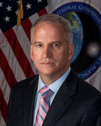
With the installation of Robert Cardillo, a 31-year intelligence community veteran, as its director at the beginning of October, the NGA is poised to take a bigger role in the intelligence community. Cardillo took over from Letitia Long, the first woman to head a major intelligence agency, when she officially retired after four years at the helm of NGA and more than 36 years total in the intelligence community.
"Together, we have transformed NGA from a static product producer" ‒ think basic maps and satellite images ‒ "into a provider of dynamic content, analysis, and services," Long said during the change-of-leadership ceremony, the Atlantic reported.
In its current iteration, the NGA was formed in 2003, allowing the organization to integrate multiple sources of information, intelligence and tradecrafts to produce innovative and sophisticated GEOINT, with a focus on exploiting and analyzing imagery and geospatial information to describe, assess and visually depict physical features and human activity around the world. Its precursor, the National Imagery and Mapping Agency (NIMA), was created in 1996, consolidating several different agencies that specialized in imagery analysis and mapmaking.
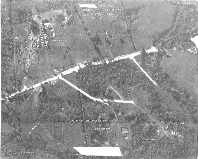
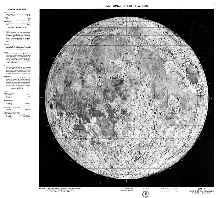
Geospatial analysis began during World War I, with the advent of aerial photography, which was a major contributor to battlefield intelligence. The NGA highlights two historical uses of GEOINT on its site: the Cuban Missile Crisis and the Apollo 11 moon landing.

When it came to NASA's Apollo program, NGA said its predecessor agencies played a key role in the United States' moon exploration efforts by creating detailed maps and charts of the lunar surface.
Now the agency is focusing on enabling its partners and customers ‒ the president is considered Customer #1 ‒ to access real-time information providing context about time and location in a variety of formats. The previous director, Long, is widely credited for leading a transformation of NGA's capabilities, putting more sophisticated GEOINT into the hands of more customers ‒ members of the military, diplomats, and decision-makers alike, according to the Atlantic.
"Digital and Web technology evolution have enabled a new mode of business for NGA," MG Mark Quantock, the Springfield, Virginia-based agency's military deputy, told C4ISR & Networks.
"As a 'static' product-driven organization we would do deep analysis with our best geospatial experts and put the results into a PDF or PowerPoint to send out to mission partners," he said. "Now we're able to share data feeds and access in real time in addition to our PDFs."
The goal is accurate, detailed GEOINT delivered virtually instantly. "Users can get the latest information in real time as we record it and quality-check it," Quantock said.
And the NGA is not hampered by intelligence scandals like some of its sister organizations, such as the CIA or the National Security Agency.
"GEOINT has a great advantage in our current environment because it's the most transparent of the collection disciplines," Director of National Intelligence James Clapper, himself a former NGA director, said last spring at the GEOINT Symposium in Tampa, Florida.
But that doesn't mean that the NGA's accomplishments have gotten it recognition outside of intelligence circles. When it came to the killing of Osama bin Laden, the Navy's SEAL Team Six, which carried out the raid, got all the glory. But the GEOINT provided to them by the NGA was critical, intelligence officials told the Atlantic.
The agency's intelligence allowed the team to practice in a perfect replica of the Abbottabad, Pakistan compound where bin Laden was hiding out, according to Clearance Jobs. Their data also enabled the SEALs to determine how many people lived there, their gender and even their heights.


Comment: Transparent to whom? Obviously the technology on display is over 50 years old. One can only imagine the current technology based on how fast computers, TV, and cell phones have evolved.