OF THE
TIMES
"We have about 50% of the world's wealth but only 6.3% of its population. This disparity is particularly great as between ourselves and the peoples of Asia. In this situation, we cannot fail to be the object of envy and resentment. Our real task in the coming period is to devise a pattern of relationships which will permit us to maintain this position of disparity without positive detriment to our national security. To do so, we will have to dispense with all sentimentality and day-dreaming; and our attention will have to be concentrated everywhere on our immediate national objectives. We need not deceive ourselves that we can afford today the luxury of altruism and world-benefaction."
~ US State Department, 1948
With no evidence of net, or even any, benefit, and clear evidence of a devastating death toll, this study's important findings show that even for...
archaeologists determined that the site was occupied during different time periods. as a motocross track, they quickly disposed of the bikes in...
To give a musical interlude I am reminded of this musical interlude from Freddy Mercury, sometimes the mind and music follows the minds of the...
Fighter jets also struck buildings used by the terror group and where Hezbollah operatives were gathered, In Lebanon, another 54 operatives from...
" Que la malédiction d'Allah soit sur les injustes,» (Coran 7/44) ».
To submit an article for publication, see our Submission Guidelines
Reader comments do not necessarily reflect the views of the volunteers, editors, and directors of SOTT.net or the Quantum Future Group.
Some icons on this site were created by: Afterglow, Aha-Soft, AntialiasFactory, artdesigner.lv, Artura, DailyOverview, Everaldo, GraphicsFuel, IconFactory, Iconka, IconShock, Icons-Land, i-love-icons, KDE-look.org, Klukeart, mugenb16, Map Icons Collection, PetshopBoxStudio, VisualPharm, wbeiruti, WebIconset
Powered by PikaJS 🐁 and In·Site
Original content © 2002-2024 by Sott.net/Signs of the Times. See: FAIR USE NOTICE


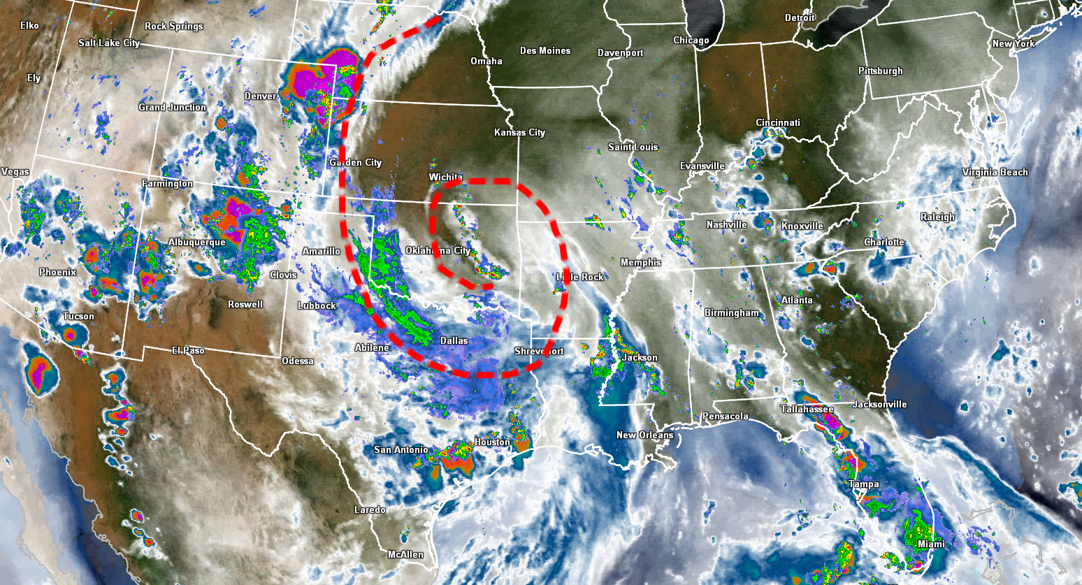
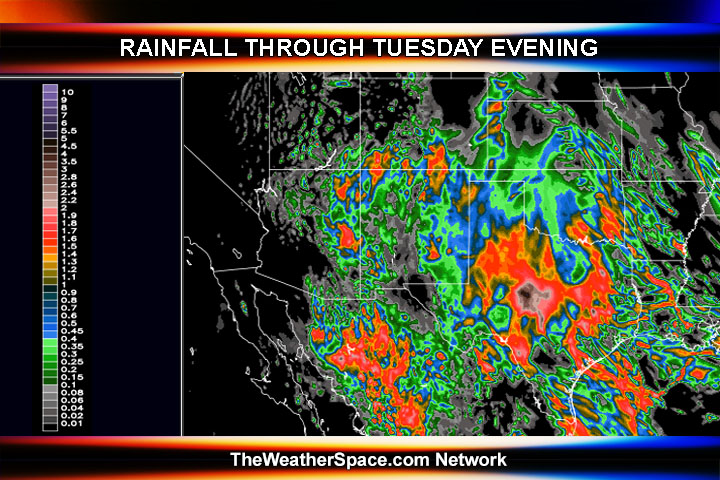
"This system is moving from east to west, which is extremely unusual for this hemisphere."
I wonder if there is a connection with the current emotional state of the population following the Zimmerman trial. Or could it be due to strong widespread belief in lies. I don't know. The correlation with a an 'backwards' storm front, which is 'extremely unusual' and the emotional state of the population following the Zimmerman case, plus the media slant on the case is highly peculiar.