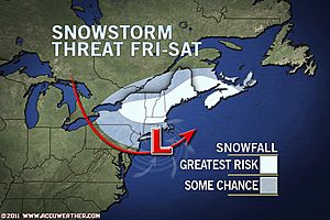
While details of the exact track and strength of the storm are still a bit sketchy, there is increasing concern that a storm could bring several inches of snow to cities such as Portland, Maine, and Providence, R.I.
The snowstorm in question may evolve from a clipper system. This new clipper will bring light snow to the Great Lakes Thursday with some snow breaking out farther south into the Ohio Valley by Thursday night.
Friday, the energy from the clipper will transfer to a new area of low pressure expected to develop off the mid-Atlantic coast.
This could spread snow throughout much of central New England Friday and Friday night with snow spreading northward into northern New England and parts of New Brunswick and Nova Scotia, Canada, by Saturday. Due to blocking high pressure over northern Canada, accumulating snow may persist in some areas through the upcoming weekend.
Our meteorologists' current thinking is pointing toward New England, including Boston, Mass., bearing the brunt of the late-week snowstorm. The exact track and potency of the strengthening system will determine how much substantial or wind-whipped snow gets unleashed.
While the current forecast shows the greatest threat for accumulating snow in New England, there is still a chance that nuisance snow could fall farther south into cities such as New York, N.Y., and Philadelphia, Pa..
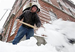
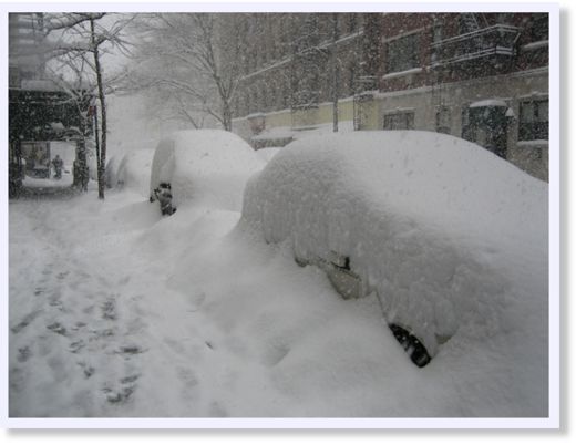
These areas were blasted just over a week ago with a fierce blizzard which brought 20 inches of snow to New York City and over a foot of snow to Philadelphia. While the snowcover has diminished substantially in these cities, residents are still facing cleanup problems that were caused by the substantial snowfall.
Regardless of the snowstorm's exact track, there is growing confidence that a frigid blast of air and more lake-effect snow showers will follow in the system's wake encompassing much of the Great Lakes, Northeast and mid-Atlantic.
Meteorologist Kristina Pydynowski contributed to the content of this story.

snow in some of the coldest areas of the planet during the second coldest month of the year. Why did you expect sunshine and beach weather ? Visit Brazil this time of the year.